
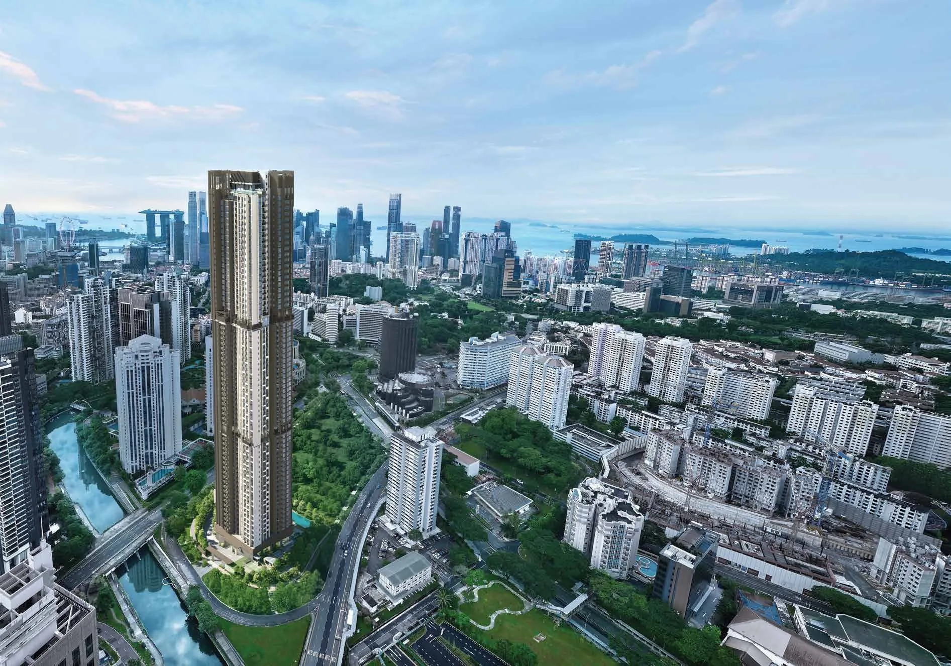
 Artist’s impression
Two stations of the Thomson-East Coast Line stand either side of Promenade Peak, each a few minutes away on foot. This guide sets out where each station leads and how the expressways connect Zion Road to the city. Distances are straight lines on OneMap from the site.
Great World Station and Promenade Peak
Great World station (TE15) is about 250 metres from the site in a straight line on OneMap, and its Exit 2 about 120 metres. The developer’s brochure gives the walk as about four minutes. From Great World, the Thomson-East Coast Line runs north to Orchard, where it meets the North-South Line, and on through Orchard Boulevard, Napier, Stevens and Caldecott to Woodlands.
Heading the other way, the line continues through Havelock, Outram Park, Maxwell and Shenton Way to Marina Bay, and on along the east coast, so the financial district, the Marina Bay waterfront and Orchard Road are each a handful of stops from home.
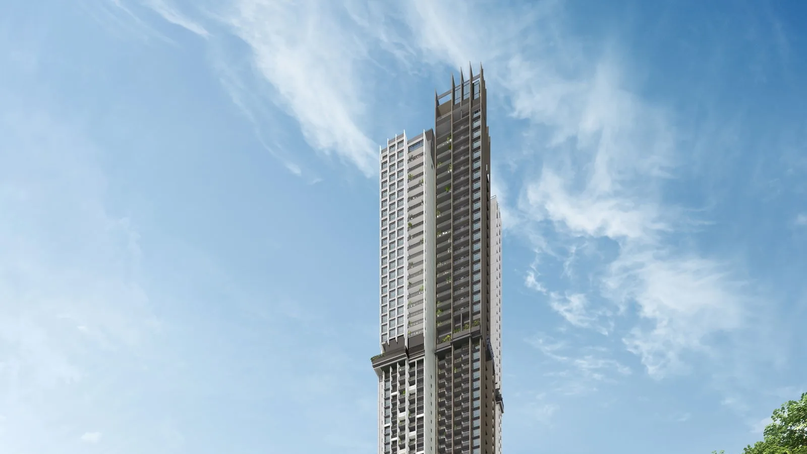
Havelock Station near Promenade Peak
Havelock station (TE16) is about 375 metres from the site, and its Exit 4 about 210 metres; the brochure again gives about four minutes on foot. One stop on, Outram Park is an interchange with the East-West and North East Lines, connecting to Tanjong Pagar and Raffles Place, to Chinatown and Dhoby Ghaut, and to HarbourFront and Sentosa.
| Place | Straight line from the site |
|---|---|
| Great World MRT station, Exit 2 (TE15) | about 120 m |
| Havelock MRT station, Exit 4 (TE16) | about 210 m |
| Great World MRT station (TE15) | about 250 m |
| Havelock MRT station (TE16) | about 375 m |
| Tiong Bahru MRT station (EW17) | about 885 m |
| Somerset MRT station (NS23) | about 1.2 km |
| Outram Park MRT station (EW16 / TE17) | about 1.35 km |
| Orchard MRT station (NS22) | about 1.35 km |
Measured on OneMap (SLA) from the site; walking routes are longer.
Other Lines within Reach of Promenade Peak
Tiong Bahru station on the East-West Line is about 885 metres away, beside Tiong Bahru Plaza, with direct trains to Raffles Place and City Hall in one direction and to Queenstown, Buona Vista and Jurong East in the other. Somerset and Orchard stations on the North-South Line are each a little over a kilometre away.
Driving from Promenade Peak
By car, the developer’s brochure gives the Central Expressway as about three minutes away and the Ayer Rajah Expressway about six, with Raffles Place and the Marina Bay Financial District each about six minutes, Orchard Road about five and Marina Bay Sands about eight. The tower has 477 car park lots and 149 bicycle lots. The location page maps the stations around Promenade Peak.
Book a Showflat Appointment for Promenade Peak
The Sales Concierge sends the price list on request, the homes still available and the e-brochure for Promenade Peak. Showflat viewings are arranged by appointment through the Sales Concierge.